
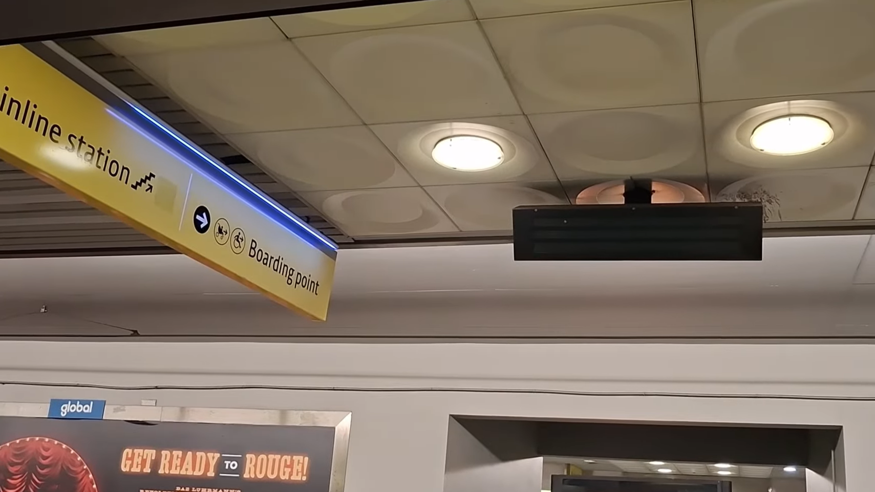
Five secrets at Piccadilly tram stop
1) Underground tram stop?
The Manchester Metrolink stop at Manchester Piccadilly station lies underneath the mainline station platforms, and its appearance may trick you into thinking it is underground, however the entire stop is located at street-level, and its the mainline station itself that is above the streets.

A double tram terminating at Piccadilly's Platform B.
Piccadilly tram stop is now a sort-of preview of what an underground Metrolink stop would look like if plans for such a thing were to go ahead.
2) Platform A display boards
An old, blank display board on Platform A.
At Platform A, you’ll find three different passenger information displays as they’re officially called (PIDs), one of them actually showing you departures as usual, and two of them appearing to be slightly smaller and completely blank.

The operational display board next to the second blank one on Platform A.
These two blank display boards are remnants of the old system used to estimate departure times for trams, though many people saw this system as unreliable.
A brand new system was implemented on 9 May 2013, which gave tram stops new display boards with bigger text and more accurate estimates for tram departures, but only across some of the Metrolink’s lines. The Bury and Altrincham Lines were among the last to receive the new display boards near to the end of 2013.

An old display board at Broadway’s inbound platform on the Eccles Line.
Most of the old ones were removed across the network, but at some places across the older parts of the network (especially on the Eccles Line) you can still see these old display boards. These two at Piccadilly’s Platform A survived the switchover, and haven’t been removed since.
3) Outdated signage

One of the two wall-mounted signs at the Fairfield Street entrance to Platform A.
At the Fairfield Street entrance to Platform A, the destinations of trams are listed correctly on both signs, all except for Rochdale Town Centre, which is included even though trams to Rochdale Town Centre do not run from Piccadilly direct, but can only be reached by travelling to Victoria first (which still does not justify having Rochdale Town Centre on the signs).
All other signs at the station show the Platform A destinations correctly, except minor details regarding the Eccles Line (some signs show it as Eccles via MediaCityUK, some just show Eccles and not MediaCityUK, and some show Eccles and MediaCityUK separated by commas, not using “via”, which is arguably the most accurate) and services to Bury (some signs say just Bury like this one, and some others show Bury via Victoria), but Rochdale Town Centre is the obvious outlier that doesn’t belong, as there are no direct trams to Rochdale from Piccadilly.
This is just a case of outdated signage that hasn’t been updated since the redevelopment works at St Peter’s Square tram stop. St Peter’s Square had two platforms until 26 June 2015, when it closed to be rebuilt with four platforms in preparation for the Second City Crossing extension. In the meantime, for two months afterward, no services ran through St Peter’s Square, and trams from Rochdale operated to Ashton-under-Lyne via Piccadilly. After two months, services began running through St Peter’s Square again on a single track (so services were limited), and Rochdale services still operated to Ashton. In the final two months of the works leading up to 28 August 2016, the line was blocked again, and after services began running as normal again, with trams from Rochdale running to the brand-new Exchange Square (opened 6 Dec 2015) and services from Shaw and Crompton running to East Didsbury. Since then, no trams have operated Piccadilly - Rochdale Town Centre in regular service, but the two signs at this entrance have not been changed in nearly a decade.
4) London Road closed entrance

The lift at the western end of Platform B, with the closed London Road entrance next to it.
At the London Road end of Platform B — the end that nobody goes to — to the left of the lift is a door with a notice plastered on, reading “Access to London Road is closed until further notice”. It is a closed entrance to Platform B from London Road.
I am still unsure when exactly the entrance closed in terms of an exact date, but on Google Street View, barricades were seen around it in September 2016, and in the next capture, was seen closed to the public, indicating that the entrance closed sometime between September 2016 and April 2017 (the next capture).
I found a Facebook post from someone who was apparently e-mailed about this entrance being “permanently closed” and the entrance passageway being an unusable and unsafe area for customers.
After that I found a YouTube video (timestamp 0:36~0:46) showing Piccadilly tram stop from February 2017, which contains a shot of the entrance closed to the public, narrowing down the closing date to Sep 2016 ~ Feb 2017, and another video (timestamp 1:26~1:28) which contains a clip taken from London Road showing the closed entrance for a few seconds before a tram obscures the view, and that video was released on YouTube on 9 December 2016, meaning that the entrance must have closed between 1 Sept 2016 - 9 Dec 2016.
5) The pedestrian crossing and Sheffield Street

The Fairfield Street entrance to Platform B this time, showing an “underground” tram crossing (looks pretty cool).
At the Fairfield Street end (east) of Platform B. Highly used on Etihad Stadium matchdays as passengers that arrive at Manchester Piccadilly rail station use the tram as the fastest way to reach the stadium. Passengers queue up here and “metres to boarding” signs are seen leading up to this entrance. Without any signage, you might assume this is a staff-only area.

The crossover tracks seen from the crossing at the Fairfield Street entrance to Platform B.
These crossovers that you see here were used in regular service to turn trams around at Piccadilly (which used to be a terminus for trams) up until 2013, when the extension to Droylsden and later Ashton was opened, leaving the undercroft of this station to the right of the picture. The two track crossovers both intersecting each other made running more services to Piccadilly practical when the Eccles Line opened in 1999-2000.
This method of turning trams around at Piccadilly has become impractical with the addition of the Ashton extension since it would mean conflicting moves would be done (like a tram running in the wrong direction whilst crossing over to the other track whilst trams are running frequently in the other direction), so instead, trams that terminate at Piccadilly from the city centre use a siding track off Sheffield Street immediately after exiting the undercroft heading east to turn around.
The track crossovers in the picture above have since not been used in regular service, and in fact, the crossover track from the top left to bottom right of the picture is not fully intact anymore and cannot be used currently (a small section of track has been removed, but it isn’t obvious in the picture). The top right to bottom left crossover is sometimes used during service disruptions to turn trams around from Ashton-under-Lyne and Etihad Campus at Piccadilly’s Platform B when works are going on in the city centre.